New study: The Agentic AI gap
Read nowAerospace, Geospatial Data Processing
Cloudflight Aerial Processing Service (CAPS)
Reducing calculation time and operational risk with Cloudflight's automated production process for DSMs, TrueDOP and 3D Meshes.

Integrating solutions
We partnered with company nFrames and integrated their world-class solution to reconstruct 3D surface from imagery, SURE, into DER CLUSTER.
We built processing chains that parallelize as many steps as possible, integrated them in our job scheduler for DER CLUSTER – this enabled us to provide a monitored and quality controlled full-service offering.
Megapixels processed
CPU core hours used
GB storage consumed

The challenge
Is there such a thing as too much data?
We were approached by a customer who was facing the issue of an untypically large project: The number of images and data was too large to be handled with their in-house infrastructure within the given time.
In addition, the client had never carried out a project of this size before, which posed a significant operational risk for them. That’s why the customer asked us to create and deliver the results for them as a full service.

Handling massive amounts of data... quickly
We employed our own software solutions together with required additional methods to run on DER CLUSTER with satisfactory speed, performance, and delivery of all required products. In comparison to processing with only a few individual machines, we sped up the process by leveraging the processing power of DER CLUSTER.
In the end, even though it is an automated service, we are still capable of tuning the processes into our customer’s specific needs and wishes.
If you want to get your processing done in days instead of weeks/months, or if you need a partner for data processing for your own aircraft, we are here for you: contact us now to discuss our services.
Our project partners
nFrames
nFrames, an Esri R&D center, develops the SURE software – leading technology for 3D reconstruction from images and lidar.

urbetho
urbetho provides business development consultancy for Geo-IT companies that want to scale up their business and integrate their services into business solutions of other verticals like agronomics, IoT, logistics, telecom and utilities.
Other references
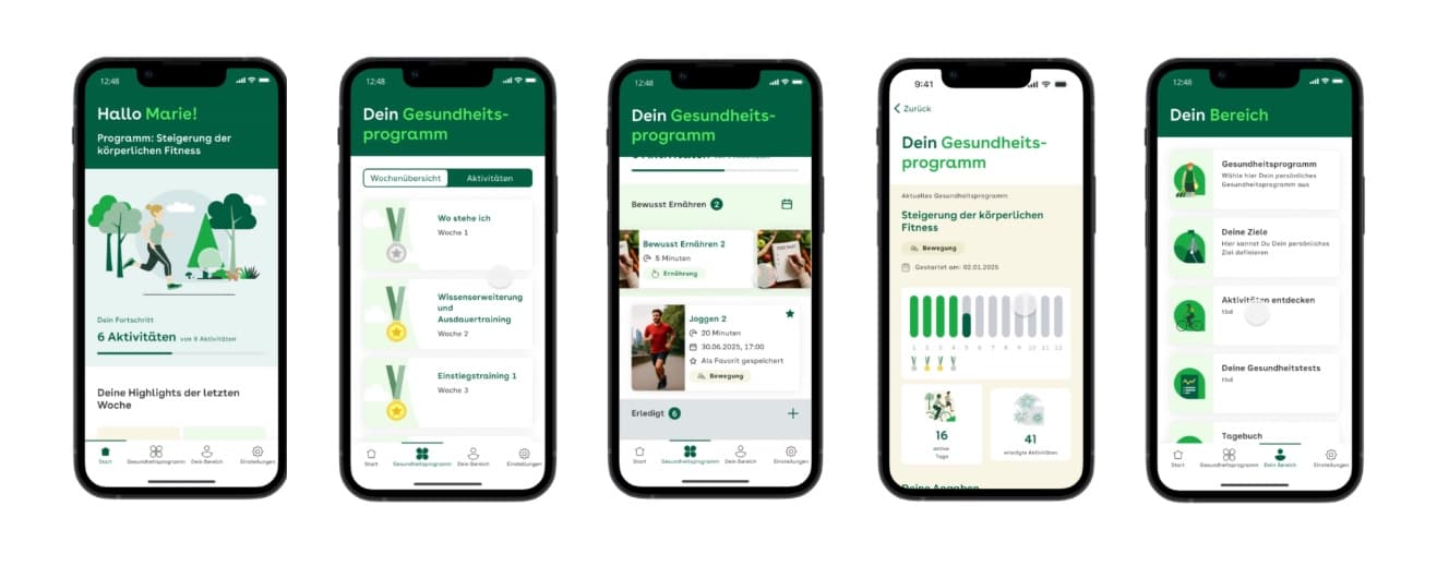
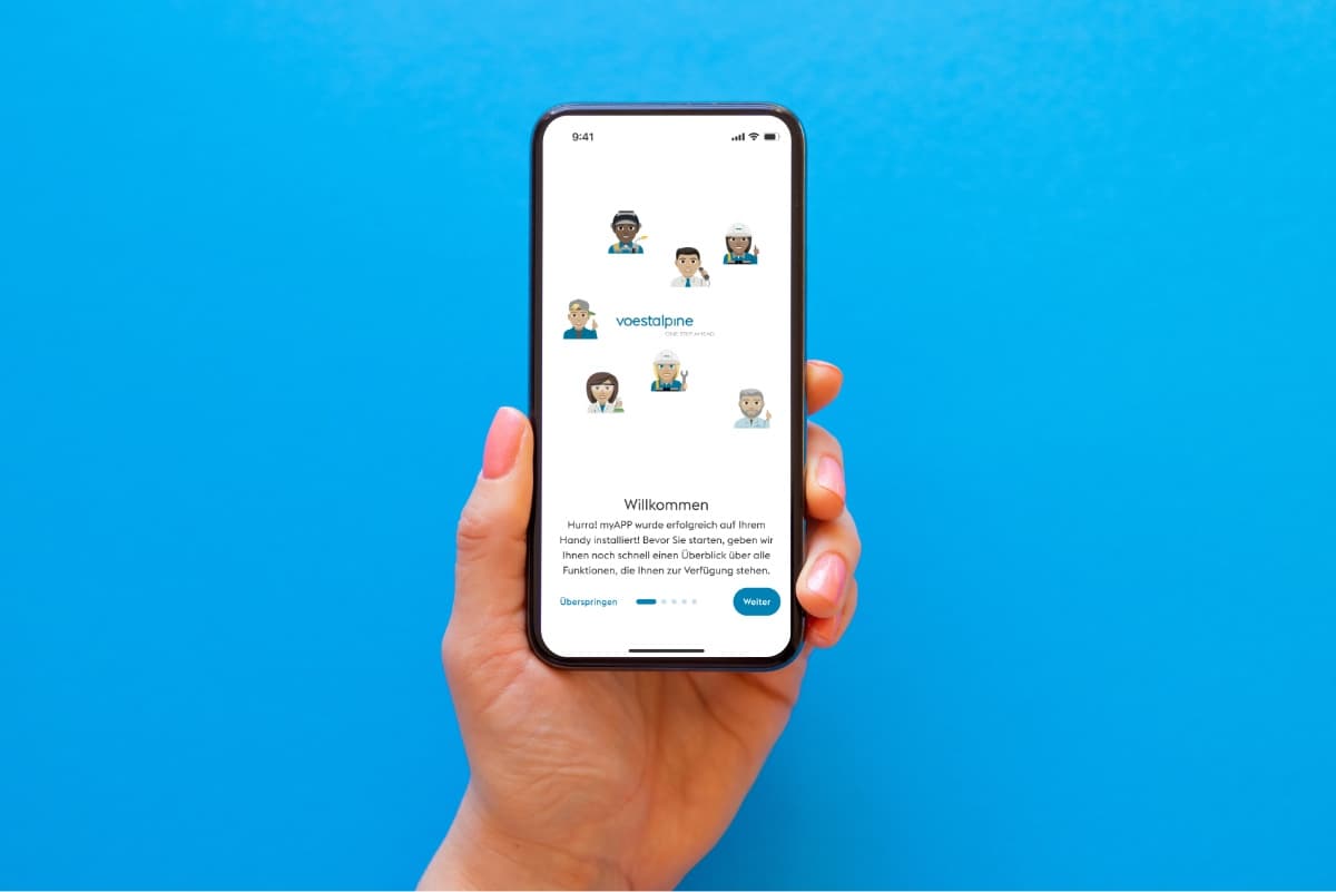
voestalpine myAPP reaches 12,000 employees with central information and strengthens cohesion
For voestalpine, Cloudflight created myAPP – a tailored app that connects 12,000 employees worldwide. It delivers central information, safety alerts, and interactive features that make daily work easier and strengthen team cohesion.

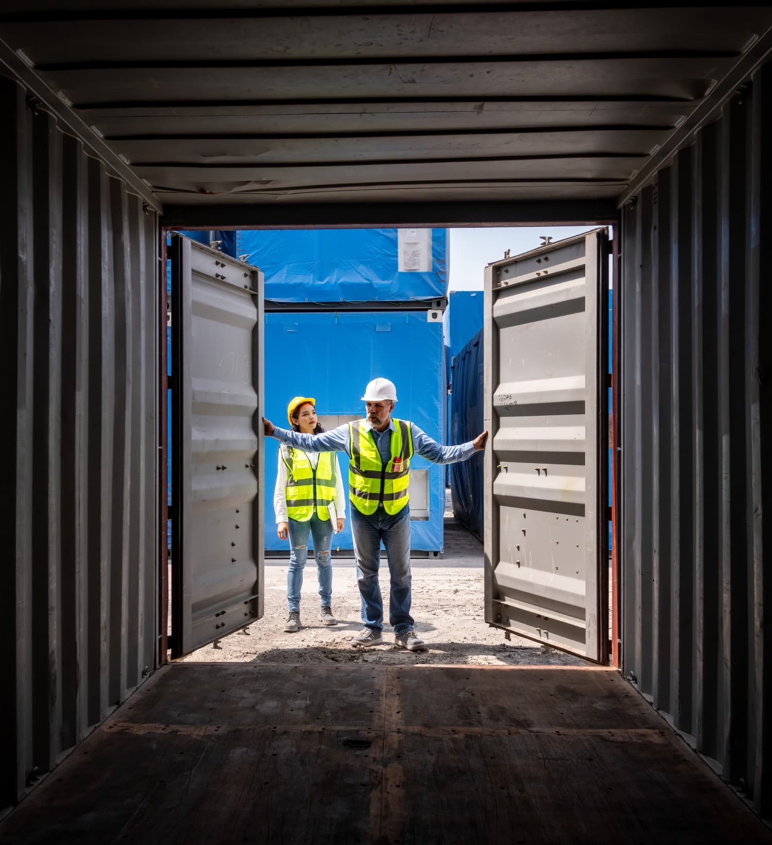
From complexity to order: Containex’s end-to-end partner portal solution
Discover how Containex revolutionized its operations and enhanced client interactions by implementing a custom partner portal. This innovative solution not only cuts down on internal effort but also empowers businesses to seamlessly buy and rent modular buildings and containers, setting new standard

Revolutionizing In-Store Experience
Discover how Schleich, one of Germany's largest toy manufacturers, transformed one of their flagship stores with an innovative interactive app that empowers customers to create personalized figurines. This dynamic solution not only enhances the shopping experience but also seamlessly integrates with

AWS EKS in action: transforming Europe’s leading textile provider
Learn how one of Europeans largest provider of textile solutions gained more agility and efficiency thanks to a new web app based on containers and deployed on a managed EKS cluster. EKS auto-scales to handle traffic & integrates with FluxCD pipelines for automated deployments.


BÉBÉ Concept’s seamless migration to Shopify Plus
BÉBÉ Concept is a women-driven brand offering a curated selection of products for mothers, children, and families, combined with expert insights on parenting and child development, all supported by a seamless migration to Shopify Plus and the integration of PIM Akeneo.