Sie verwenden einen veralteten Browser. Bitte aktualisieren Sie Ihren Browser damit die Seite verwendet werden kann.
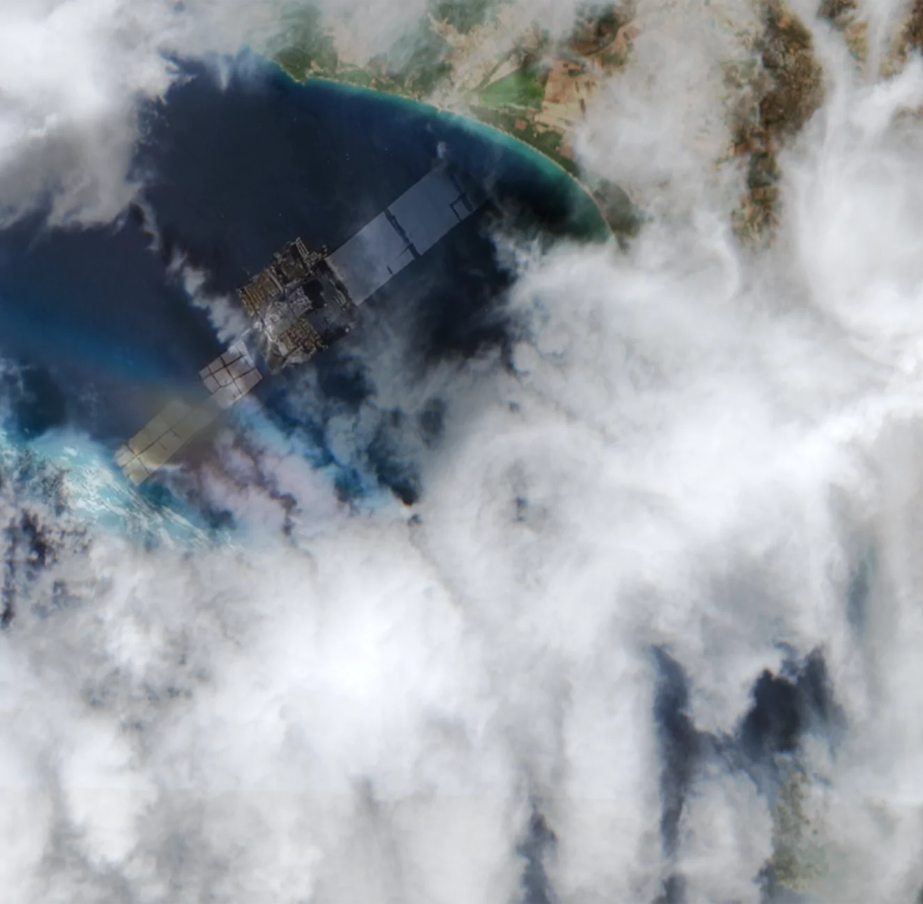
Data aggregation from observation satellites and subsequent combination with observation data from various sensor networks on the Earth's surface
Saving 20,000 working days per year with NLP-supported document processing of printed medical invoices for the IT-Services GmbH of the Austrian Social Insurance Institutions.
Photo books are a wonderful way to collect, preserve, and share memories. But working with a photo book designer requires patience and time.
New satellite imagery solutions based on existing technology
From feasible app development to consistent user experience and smooth operation
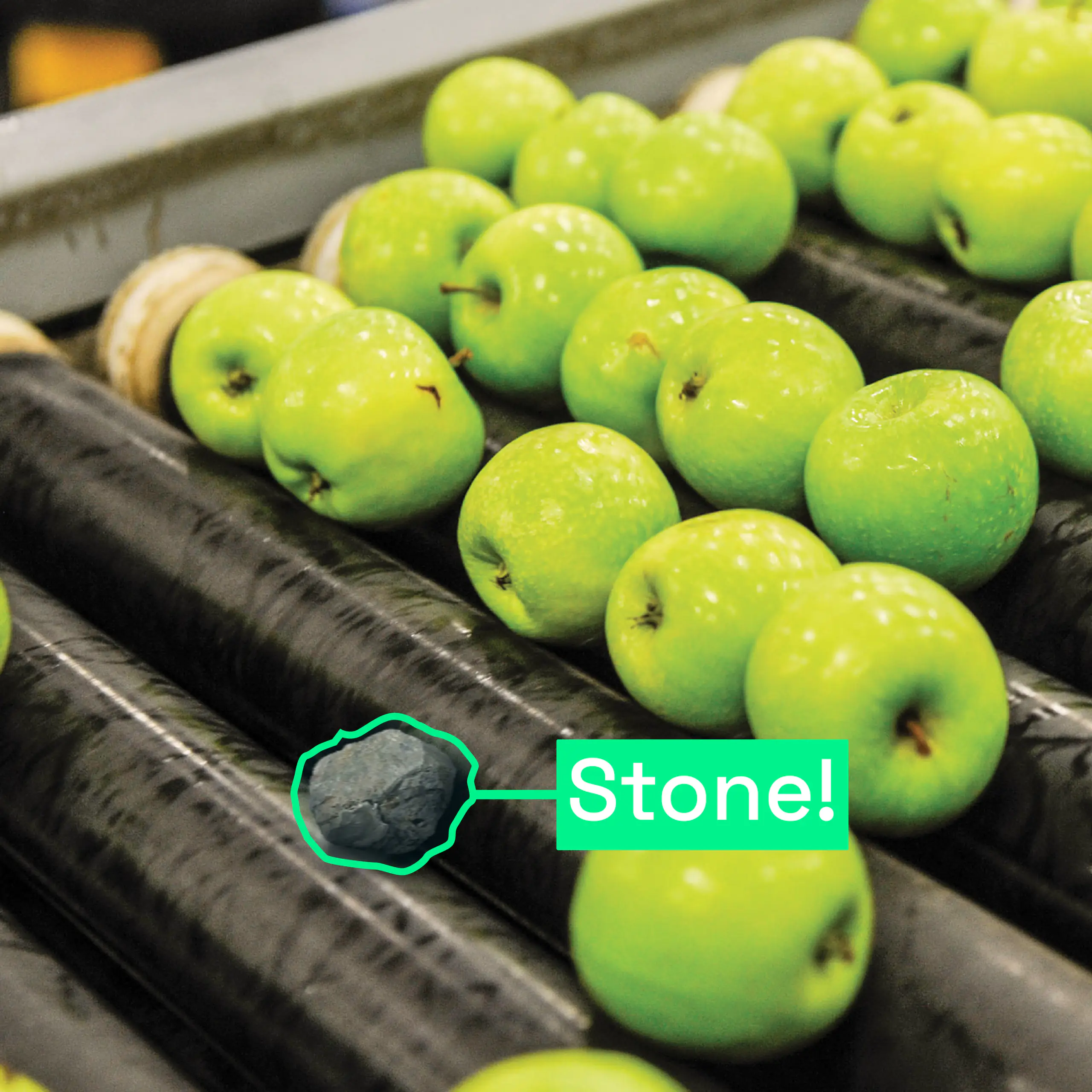
Artificial Intelligence for production process and control automation
For developing intuitive and flexible APIs for scientists in climate protection, earth observation (EO), atmospheric remote sensing, and aerosol-related research, Cloudflight fosters rapid prototyping and refining processing settings.
Facilitating the integration process through digitalization
Artificial Intelligence and Internet of Things providing safety all along the road
REACTIFI will develop a forest inventory (FI) service tailored to REDD+ Monitoring, Reporting and Verification (MRV) in Central and East Africa.
Reducing calculation time and operational risk with our automated production process for DSMs, TrueDOP and 3D Meshes.
Artificial Intelligence and Computer Vision enable digital tracking of baggage in airports.
Total Projects: 12